
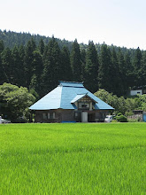
If one is fortunate enough to possess a map showing it, the Honna-Tsugawa Forest Road appears as the faintest of cartographic lines. On the Niigata side it begins where Rt. 227 ends; thence it heads directly for the wall of peaks forming the Echigo Mountain Range, which comprises the boundary between Niigata and Fukushima prefectures. Snaking its way up Mujinagamori (Badger Forest) Mountain (1315m) and traversing the 1,130m Shionoso (Salt Warehouse) Pass, the track then seems to free-fall into the lap of Honna, a village on the Fukushima side. Was the road passable? Would our bikes, Kona Smokes designed primarily for road use, prove sturdy enough for the rough conditions we would likely encounter? Intrigued rather than deterred, we planned our excursion for Sunday, Oct. 14, and consulted JR's timetables for the earliest train to Tsugawa.


No comments:
Post a Comment